

Our Services

2D/3D Drone Mapping & Data Collection
We deliver accurate 2D orthomosaics and detailed 3D models tailored for construction projects using advanced drone technology and precise GPS systems. Our mapping solutions streamline site planning, progress tracking, and volumetric analysis — helping save time, reduce risks, and make data-driven decisions with confidence.

Inspections
Offering High-resolution aerial inspections for housing, roofs, structures, towers, solar panels, hard-to-reach areas, and more. Our drone-based inspections help detect issues early, improve safety, and make smart and educated decisions planning forward.
aerial video pRODUCTION
Delivering cinematic and impactful high-res videos and photos for special events, projects, construction, marketing, real estate, weddings, sports, hunting, boats and others. Weather clients need just raw footage or fully edited content, we offer multiple angles, tracking shots, wide aerial views and dynamic angles. Professional post-production is available for web, social or presentations. Go ahead, show it off.
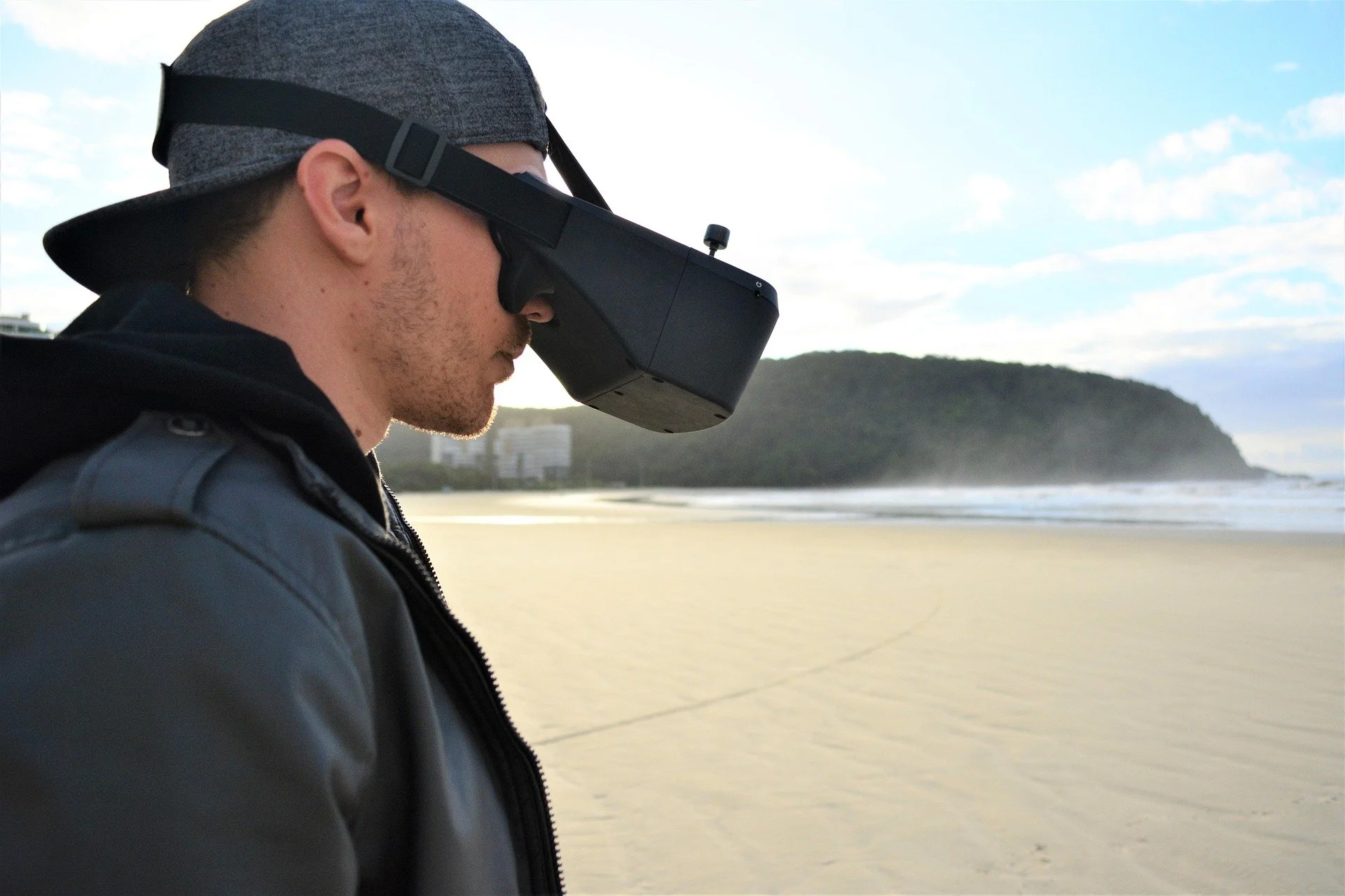
coMING SOON:
FPV &
lIDAR
Coming soon…